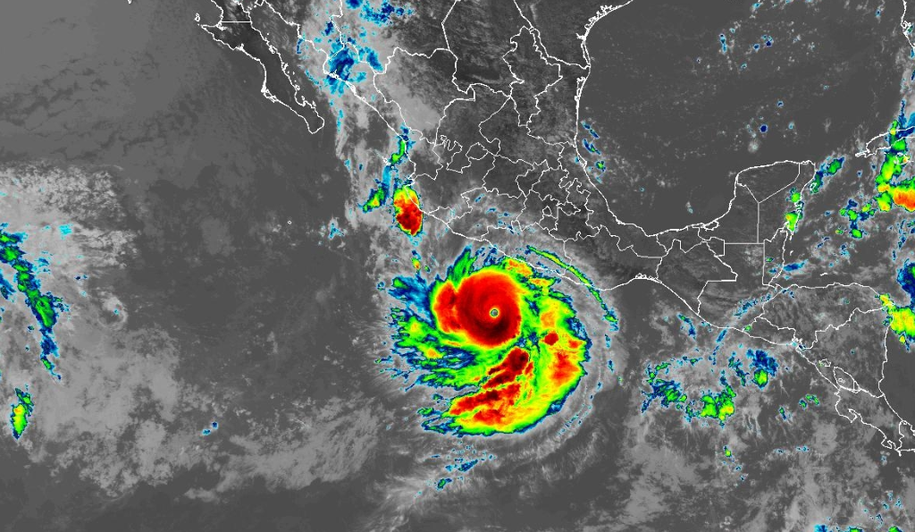
Acapulco, Mexico (KKOB) – Hurricane Polo is now a Category 5 Hurricane off Mexico’s Pacific coast and is now considered an extremely dangerous storm. At 1200 PM CST (1800 UTC), the center of Hurricane Polo was located near the state of Guerrero and wass nearly stationary, but a generally west-northwestward motion is expected over the next couple of days. On the forecast track, the core of Polo is expected to be near the coast of southwestern Mexico throughthe middle of this week, although forecast to remain offshore.
Maximum sustained winds are near 165 mph (270 km/h) with higher gusts. Polo could see some additional strengthening very likely through Tuesday night, with fluctuations in strength possible Wednesday and Wednesday night. Polo is expected to produce rainfall totals of 3 to 6 inches, with isolated maximum totals up to 8 inches across coastal portions of the Mexican states of Guerrero and Michoacán through Thursday. Tropical moisture is moving into the Southwestern U.S and into south and southwest New Mexico.
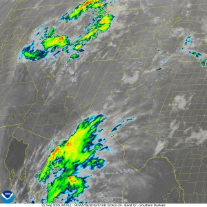
Courtesy: NOAA
A Level 3 out of 4 flash flood risk is in effect starting Tuesday, impacting areas like Las Cruces, Ruidoso, and the Sacramento Mountains where vulnerable soils and recent burns heighten debris flow concerns. Far West Texas including El Paso could also see severe flooding.