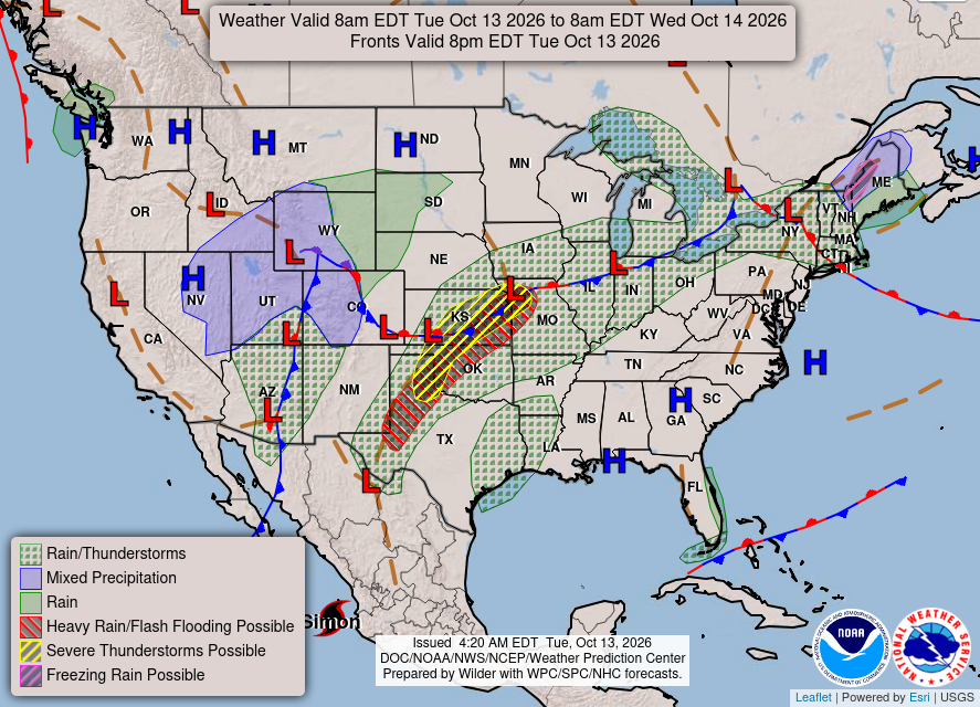
ALBUQUERQUE, N.M. — Fall is arriving in earnest across New Mexico as the first significant cold front of the season moves through the state, bringing widespread chances for rain, gusty winds, and a sharp drop in temperatures.
According to the National Weather Service Albuquerque, scattered to numerous showers are expected across northwest and west-central New Mexico Tuesday, with isolated thunderstorms possible in some areas. Rain chances will expand into north-central New Mexico on Wednesday as the cold front continues its push across the region.
Along with the precipitation, residents can expect breezy to windy conditions and noticeably cooler temperatures through the middle of the week.
Forecasters are also calling for the first freeze of the season in parts of the Upper Rio Grande Valley, including the Taos area, late Wednesday night into Thursday morning.
The colder temperatures could mark the end of the growing season for some higher-elevation communities and signal the arrival of more typical late-autumn conditions across northern New Mexico.
A second weather system, known as a backdoor cold front, is expected to move west across the state Thursday.
That system could generate strong east canyon and gap winds, especially in the Rio Grande Valley and Upper Tularosa Valley, beginning Thursday and continuing into Thursday night.
Weather officials say the strongest impacts are expected to be:
- Periods of rain across western and northern New Mexico
- Gusty to strong winds statewide
- Cooler temperatures
- Freezing overnight temperatures in parts of northern New Mexico
- Strong canyon and gap winds Thursday
Conditions are expected to improve after the cold fronts move through, but temperatures will remain cooler than recent weeks as New Mexico settles into a more fall-like weather pattern.